Soar is pleased to announce yet another global satellite imagery provider, Chang Guang Satellite Technology Limited (CGSTL), to the platform. Their technology will give users a whole new range of imagery products that can be ordered directly from the platform, including night time light imagery.
CGSTL’s Jilin-1 constellation is made up of 41 high performing satellites, which are able to visit any place in the world 13 to 15 times in a day. This amount of global coverage is able to produce an updated global map once a year, as well as a national map every quarter.
CGSTL offers imagery in a range of resolutions, and has some unique products that are rare in the commercial satellite imagery market.
These include pansharpened, multispectral, daytime imagery in various resolutions:
For those wanting to build high resolution digital surface models (DSM) and digital elevation models (DEM), CGSTL offers stereo imagery collection in 75cm resolution.
Higher resolution multispectral imagery is also offered by CGSTL in 5m resolution, covering a large swath of spectral and near infrared wavelengths across 19 bands.
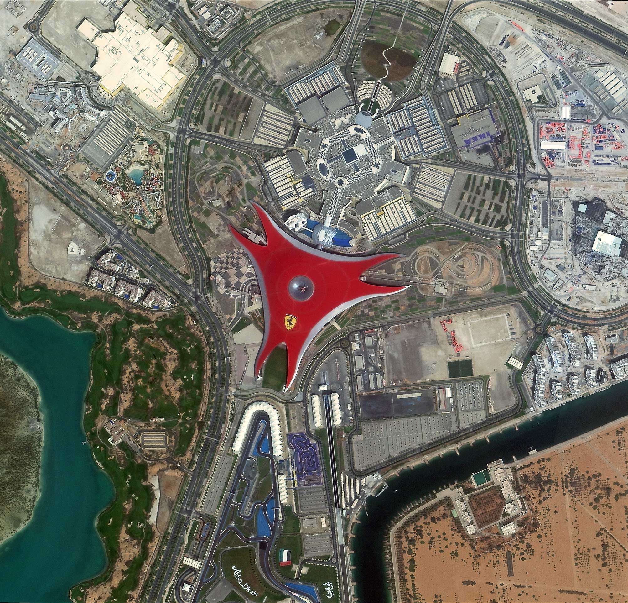
Ferrari World, Abu Dhabi is captured in 75cm resolution on 19th March 2021.
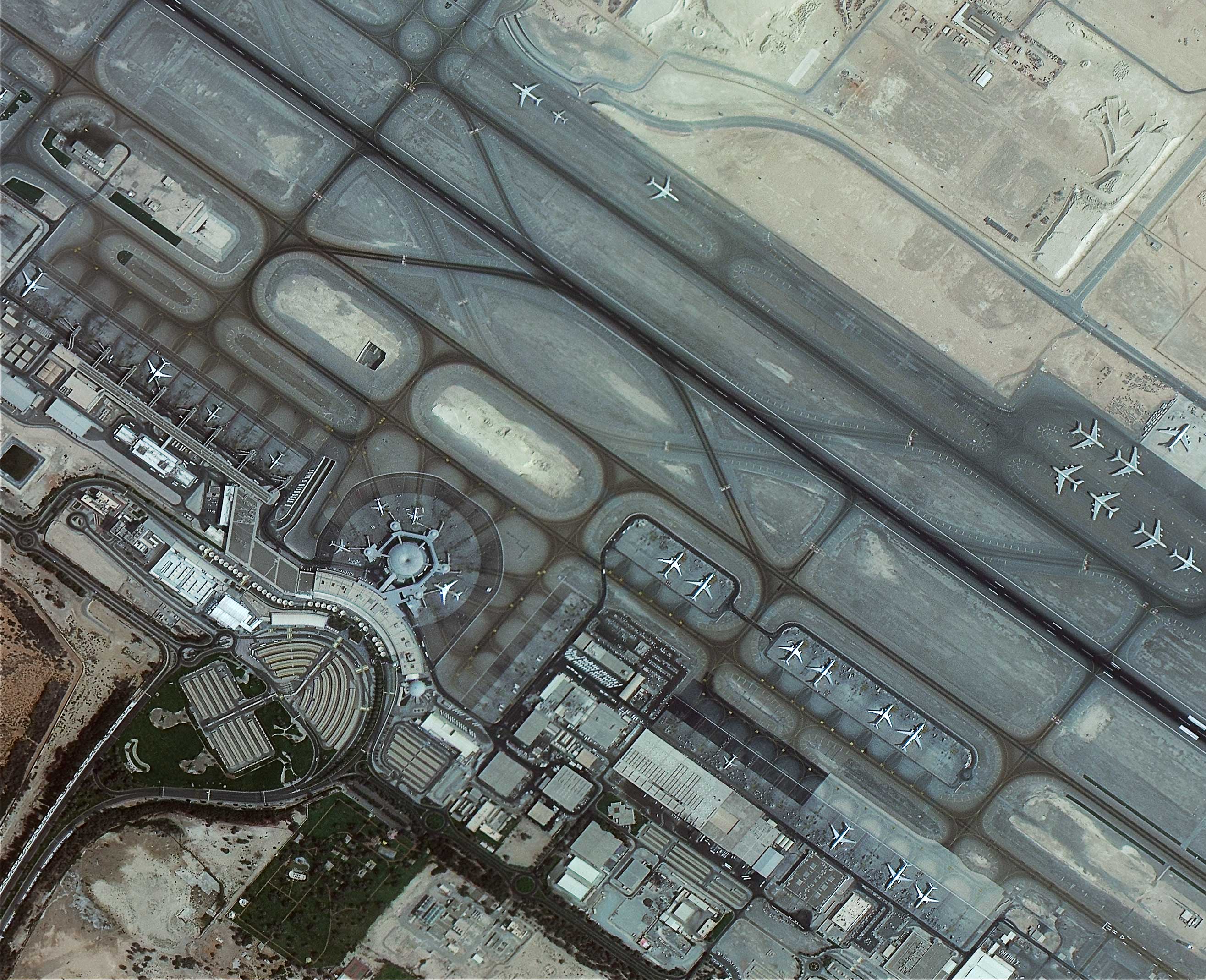
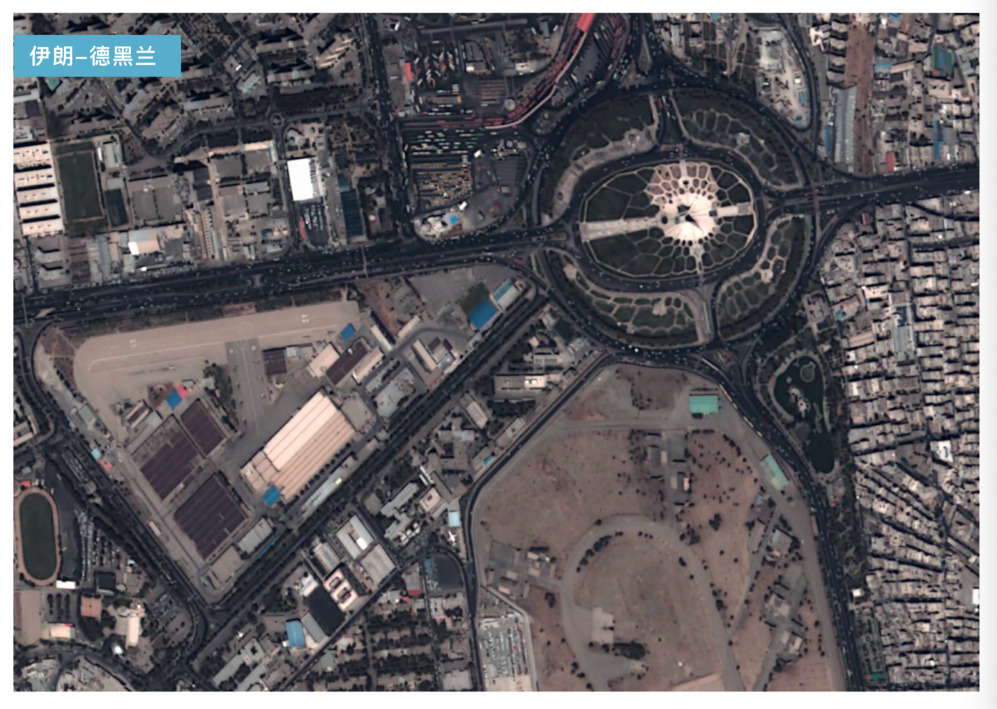
Dubai Airport ,Dubai captured in 1m resolution on 19th March 2021
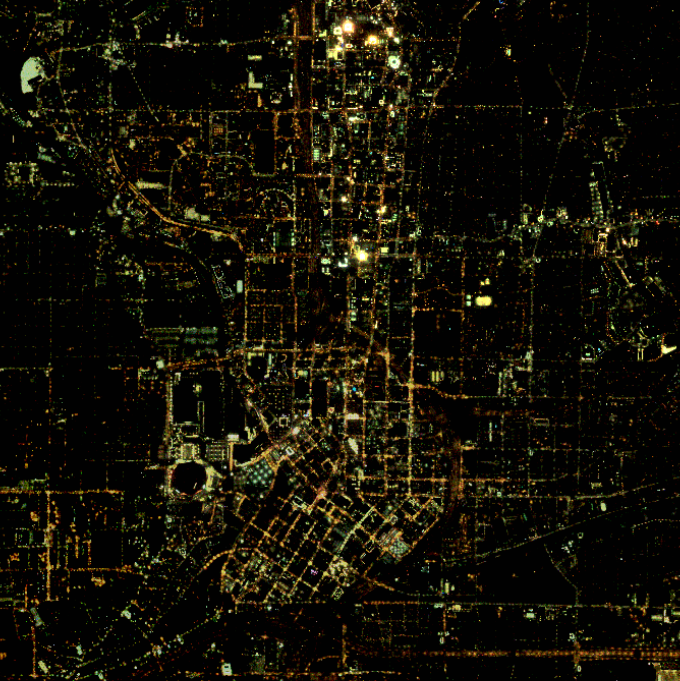
Atlanta, USA, captured on Jilin-1’s night time lights satellite on 23 November 2018.
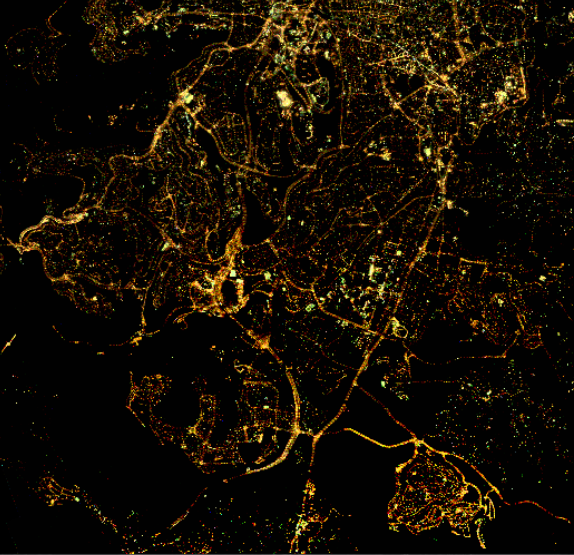
Jerusalem, Israel captured on Jilin-1’s night time lights satellite on 21 November 2017
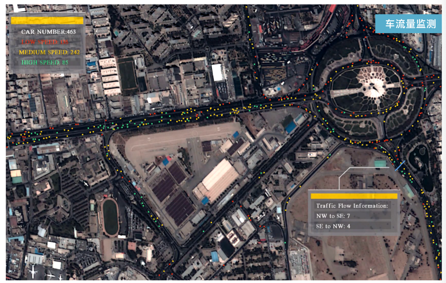
Screencap of video from Jilin-1 constellation (left) and data taken from movement of vehicles in video (right).