About Us

Soar is the world's largest atlas

Launch Soar Watch Our Video

Our Mission

To create the world’s largest digital atlas, built on maps and imagery from individuals, organisations, and the broader community

What is Soar?

Soar is the world's largest online atlas, and the home of maps on the internet.

Our platform allows anyone in the world to view, upload, discover, and interact with an enormous library of high quality maps and images. We’re bringing together every map, satellite, and drone image that has ever existed, or will ever exist, in one place.

Let’s build the world’s largest digital atlas together.

Discover thousands of incredible maps and images from creators all over the world

Unleash the full value of your maps by sharing them on Soar

Sign up for free to join a global community of creators, enthusiasts and professionals

Why we exist

Soar was created because the world needs a scalable, collective and accountable knowledge base of all its maps and images.

We want to bring value to our users - to make it quicker and easier to access, share, and interact with maps and images. We see ourselves as the next evolution of mapping systems, breaking down existing data silos, and opening up this incredible content to the world.

An enormous digital atlas of the world's maps is just a click away

Access near real time orbital satellite imagery from some of the world's leading providers

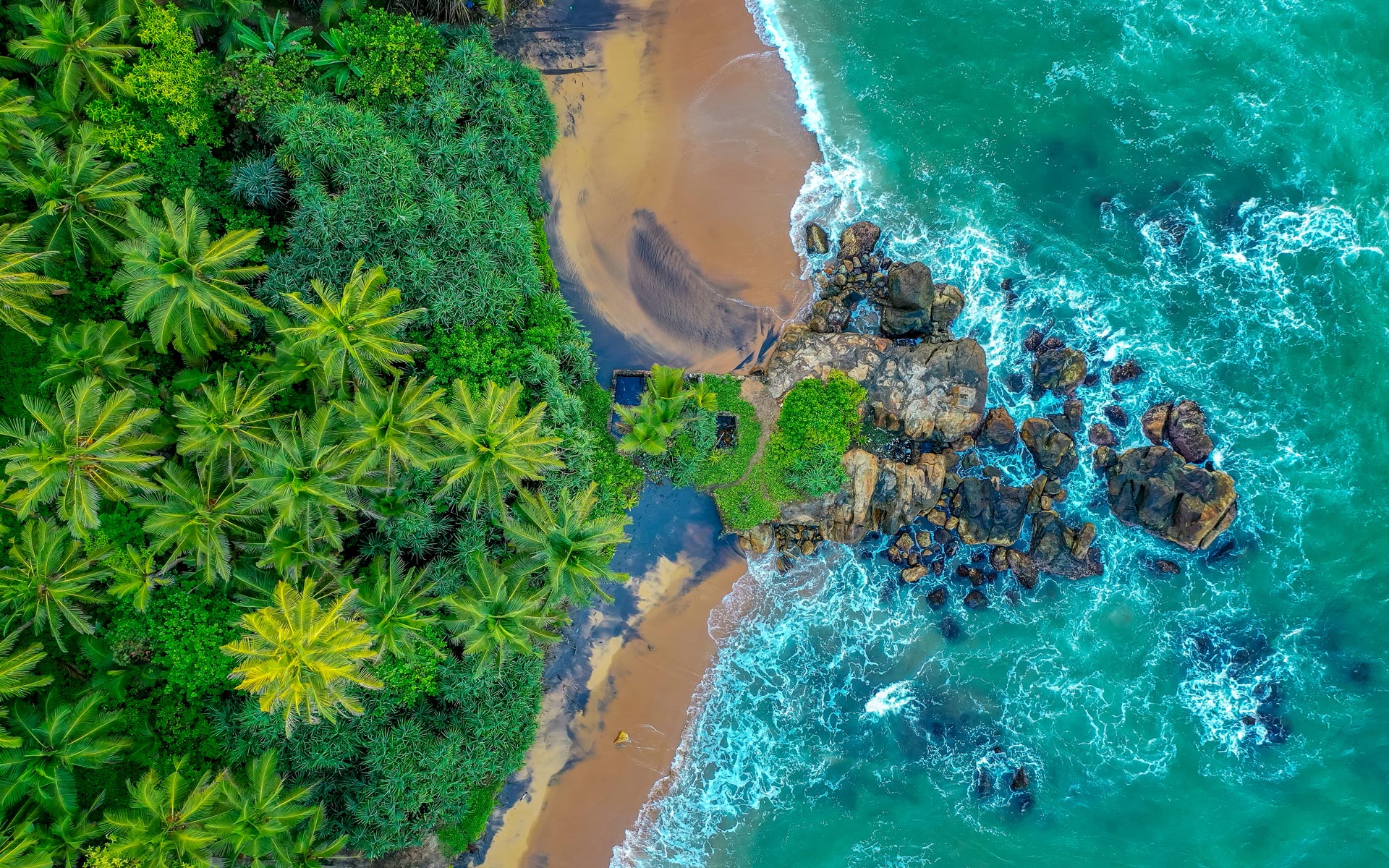
View, buy, and sell high quality, top-down drone imagery

Our values

humility

We keep it real and treat others the way we’d want to be treated. We're proud of our work, but we remain curious and open to feedback and growth.
The wisest learn from others.

inclusion

We're inclusive to all. Our organisation is for all people. We want everyone in the world to be part of the Soar journey. If you want to go fast, go alone, but if you want to go far, go together.

community

We’re building Soar together with a global community. Our work aims to connect people to each other, to our platform, to their environment, and to the world. When we win, we win together.

innovation

We’re not afraid to think outside the box. Our goals are driven by research and the nucleus is innovation. We see our work as multigenerational, impactful, and outlasting us as individuals.

Our history

From humble beginnings, coding out of a small shed, our team have always been passionate about making geospatial data accessible and making a positive impact in the world. The idea of Soar, an open digital atlas of all the world’s maps and images, was first dreamed up following the success of our Mappt mobile app.

Mappt is a mobile field-mapping application made for mining applications. Seeing the way users were interacting with Mappt and what they wanted from it, led to the development of the Soar platform. Soar was built on the strengths of Mappt: a use-anywhere, agnostic, affordable, and inclusive product.

We evolved this technology, while upholding the same values, to create Soar and make it available to everyone.

“We are building a multi-generational product for the world” - Amir Farhand, CEO and founder of Soar.

Meet the team

Satellite Imagery Providers

Some of the world's leading satellite imagery providers you can find on Soar.Earth

and more COMING SOON!

Are you an imagery provider? Join the mapping revolution!

Get ready for an adventure

Much of the content on Soar is generated by our users. Anyone with maps and imagery can help contribute to a growing super-map of the world. Here's just a small selection of some of the great content you can find.

Create your own digital atlas

Sign up for your Soar account and start exploring today

Register For Free Now